The company Japan Rail Pass is an authorized distributor of the Japan
Rail Pass. We are not part of the Japan Railways Group (JR).
+34 93 547 88 66
» Mon-Fri 8 am to 8 pm (GMT+1)
info@jrailpass.com
» 24/7
Internet Access
The best and most complete transportation maps to help plan your trip to Japan. Download handy, easy-to-use JR and metro maps.
Interactive and PDF downloadable maps to help you plan your trip to Japan. Find easy-to-read travel resources about the train and metro systems of Tokyo, Osaka, and Kyoto as well as details about the lines you can take with your Japan Rail Pass.
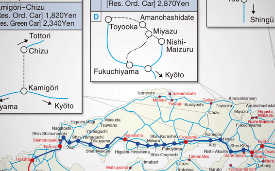
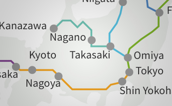
Plan your holiday around Japan with our useful national railway maps. They include route maps of all the Shinkansen lines (the fastest and most convenient way of making long-distance journeys in Japan) and maps of all the local train lines, and bus and ferry routes.
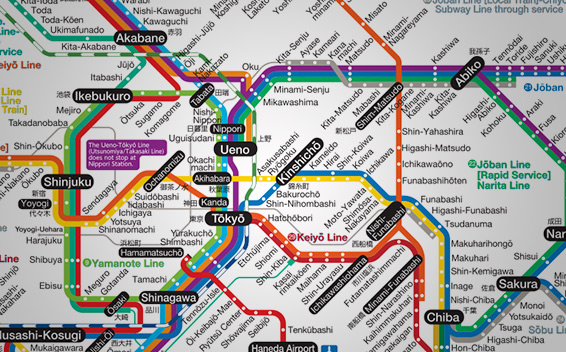
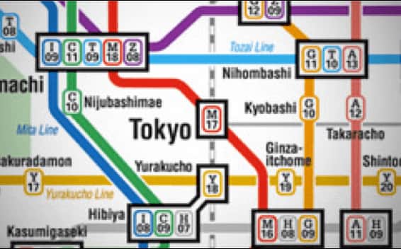
Download our Tokyo Area PDF maps, which include a Tokyo Metro Map and a Tokyo Metropolitan Map, and navigate around the Japanese capital like a local. Tokyo subway has 13 metro lines (Tokyo Metro 9 and Toei 4) as well as numerous overground options.
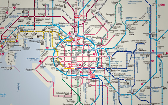
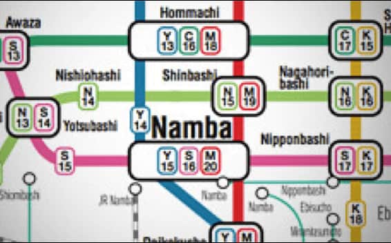
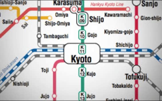
Use our easy-to-use maps of the Kansai area including a map of the entire region as well as metro maps for Kyoto and Osaka. Though the big cities in the area have metro lines, getting around Kansai by train with your JR Pass is generally the preferred method.